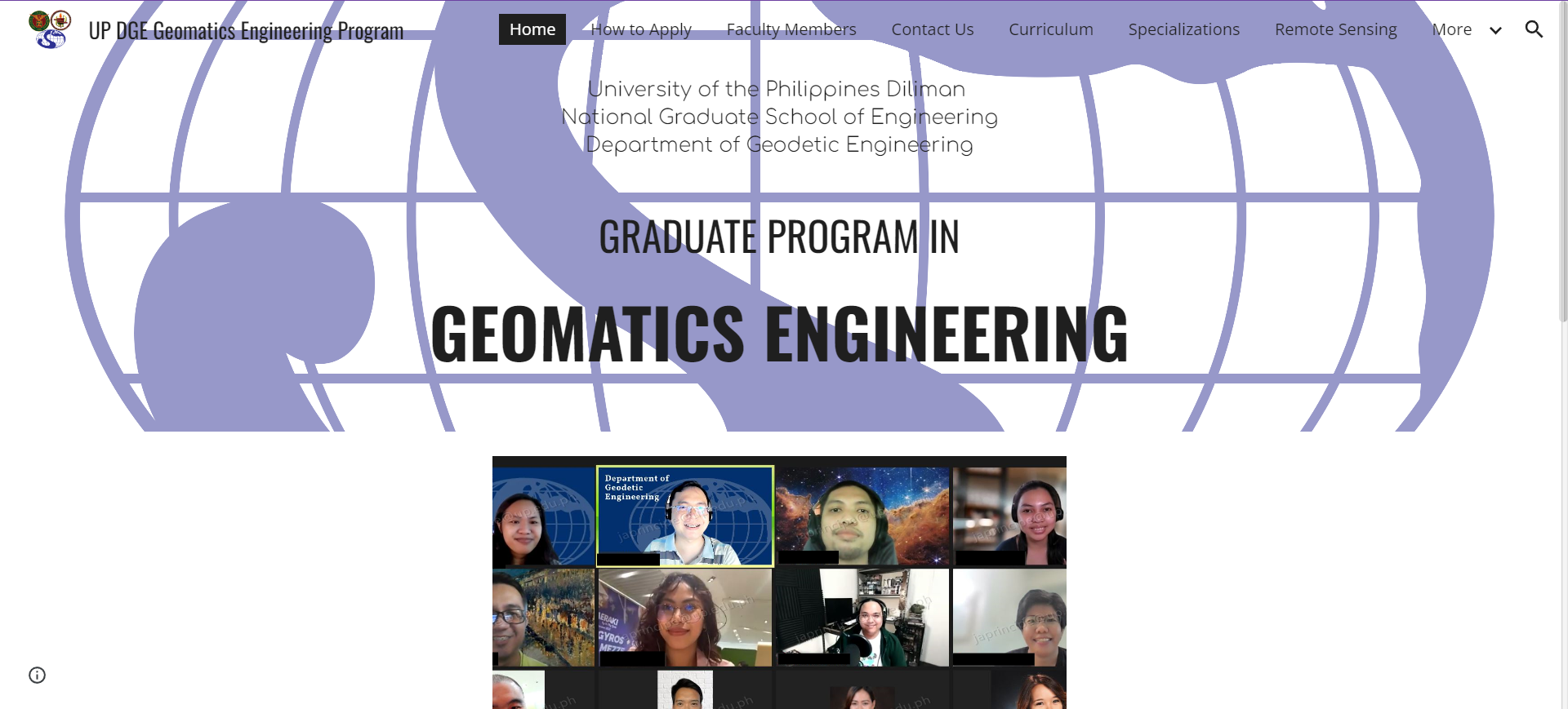

MS Geomatics Engineering
The Master of Science in Geomatics Engineering at the University of the Philippines is a 30-unit program with specializations in Geoinformatics, Remote Sensing, and Applied Geodesy. Each track is meticulously tailored to meet specific professional needs and advance expertise in the field of geomatics engineering.
OVERVIEW
Geomatics is the science, engineering, and art of collecting and managing geographically referenced data, integrating disciplines like Surveying, Geodesy, Remote Sensing, Photogrammetry, Cartography, GIS, and GPS (Geomatica, Canadian Institute of Geomatics).
Traditionally, Geodetic Engineering focuses on boundary determination, while Geodesy involves precise positioning based on Earth's gravity field. Advances in satellite technology and GNSS have expanded measurement methods beyond direct field surveys.
A Master of Science in Geomatics Engineering combines Remote Sensing and Geodetic Engineering, offering three specializations: (1) Remote Sensing; (2) Applied Geodesy; (3) Geoinformatics
CURRICULUM FLOWCHART

Course Structure
Core Courses
Common Courses
Specialized Courses
Electives
Thesis
TOTAL
9 units
6 units
6 units
3 units
6 units
30 units
STUDY PLAN
Core Courses
GmE 202: Principles of Remote Sensing
GmE 203: Principles of Geographic Information Systems
GmE 205: Object-Oriented Programming for Geomatic Applications
All Fields of Specialization
ES 201 Advanced Mathematical Methods in Engineering I
ES 202 Advanced Mathematical Methods in Engineering II
ES 204 Numerical Methods in Engineering
IE 230 Statistical Design and Analysis for Engineers
Geoinformatics and Remote Sensing
Stat 276 Statistics for Geographic Information Systems
Stat 277 Statistics for Image Analysis
Common Courses
Remote Sensing and Applied Geodesy
GmE 211 Satellite Geodesy
GmE 216 Field Techniques in Applied Geodesy and Remote Sensing
Geoinformatics and Applied Geodesy
GmE 210 Spatial Visualization
GmE 217 Cadastral Data Management
Admissions Criteria
MS GmE is one of the graduate programs offered under the National Graduate School of Engineering (NGSE). To know more about the admission process, please visit the NGSE website here.
Start of Application for Admission to the NGSE programs:
-
1st Semester intake: last week of March
-
2nd Semester intake: last week of September
Student Info Hub
The website contains essential information on the MS Geomatics Engineering program including program overview (curriculum, specialization, and faculty members), instructions on how to apply for admission to the program, relevant files for current students, and contact details for any inquiries about the program.


